EtherPK Maps In Your Notes - Visualise the Places That Matter
EtherPK (our markdown and wikilink based PKMS) now has maps. Lots of the concepts in a PKMS relate to places in the physical world, and for me that's often trips and travel. For example, I keep a list of places I've loved camping, and I often drop a note in my journal about a particular campsite with the [[Campsite]] wikilink. The backlinks for [[Campsite]] already show me every document where I've mentioned one. Now each of those notes can hold a map too, with pins and routes that I place by hand or find by postcode, ZIP code or place name. The Map View then gathers the places by concept. The Map View for [[Campsite]] shows every campsite I've noted on one map, framed to fit them all. (There's no picture of that one, because those places are too special to share here!)
The maps and the postcode lookup are EtherPK's own, and free for everyone. Postcodes cover the UK and ZIP codes cover the US. Searching by place name uses a third-party service, so it comes with Sync+. If you'd like satellite imagery, add your own Mapbox access token in the Maps extension's settings, and your maps are drawn over Mapbox instead of EtherPK's map (how to set it up). The places in a map code block are the same either way, so if you stop using Mapbox, or we add other providers, your maps keep working. EtherPK doesn't use Mapbox's place search, to stay within its terms, because a place you find is stored in your notes. A published page always draws its maps over EtherPK's own map.
You can try maps and other EtherPK features now on our demo graph.
How to use maps in EtherPK
Type /map in any document to add one, then add places by searching, by pasting coordinates or a link, or by clicking the map, and draw routes on it. The places are kept in the document as lines of text, so they sync, export and back up with the rest of your notes.
A map sits in a note like any other block. Here are two from the demo's journal, a day at the Eden Project with one place, and a walk round Kew with its route.
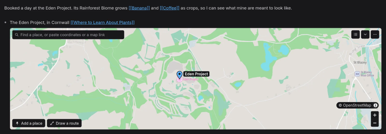
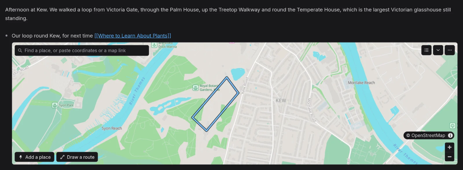
Each place is associated to the concepts via the usual block and heading linking logic, the same way tasks are, so the Map View can gather every place for a concept onto one map, wherever in your graph you wrote them.
To show what that looks like, I've added maps to the demo graph. Every plant in it, such as [[Monstera]], now has a map of where it grows wild.
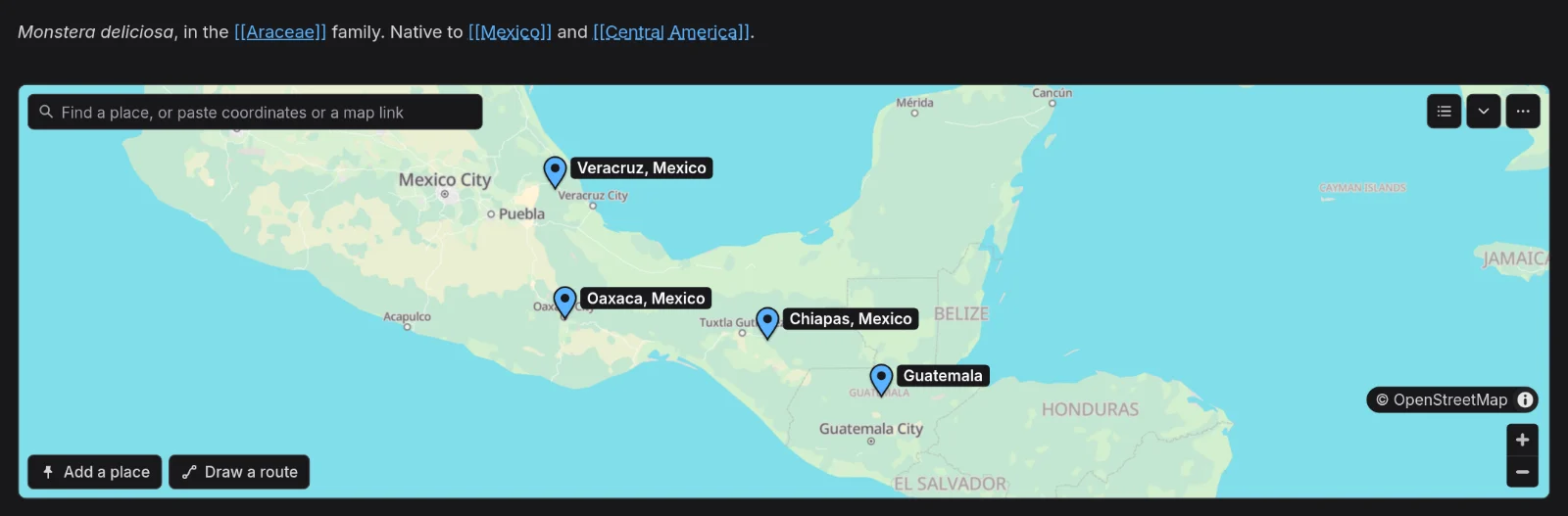
The demo graph on a map
The demo graph is about houseplants and garden plants, with a page for each of 236 species. Each page now has a map of up to five places where that plant grows wild. The places were checked against Kew's World Checklist of Vascular Plants, the data behind Plants of the World Online. For a crop or a hybrid, the map shows where its parents grow wild or where it was first grown.
The demo also has a page called [[Where to Learn About Plants]], for gardens worth a visit, and a few other places besides: a walk round Kew in the journal, the road up the valley in western Sichuan where the [[Regal Lily]] was found, and a place to visit in each season on the [[Season Guide]].
Places belong to concepts
A place on a map belongs to the same concepts as a task written in the same spot. A map on the [[Bird of Paradise]] page belongs to [[Bird of Paradise]], and a map under a bullet that links a concept belongs to that concept as well.
Most of the gardens in the demo aren't written on the [[Where to Learn About Plants]] page. They're noted where they came up, on the page of the plant each garden is best for, or in the journal on the day of a visit. Each sits in a map under a bullet that links the page:
Kirstenbosch, in Cape Town, grows it among the rest of the Cape's plants, and bred its yellow form 'Mandela's Gold' there [Where to Learn About Plants]
map
Kirstenbosch National Botanical Garden @ -33.98561, 18.43014
The Map View of [[Where to Learn About Plants]] then shows all of them on one map, with a list beside it grouped by the document each place is written in. To open a concept's Map View, right-click its document's tab, or a link to it, and choose Open Map View.
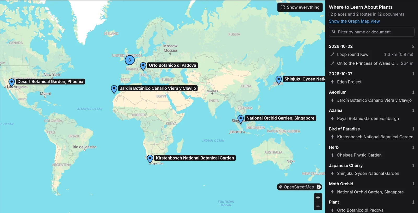
The whole graph on one map
The Graph Map View shows every place and route in the graph together. In the demo that's the plants' native regions, the gardens and the two routes. Where pins are close together, the map groups them into a circle with a count, and clicking the circle zooms in.
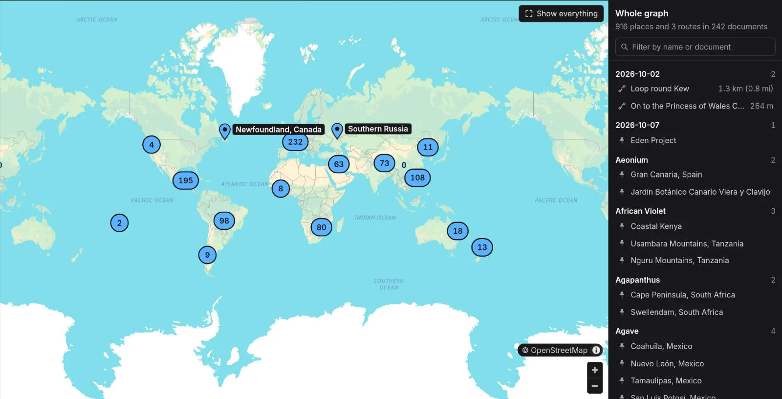
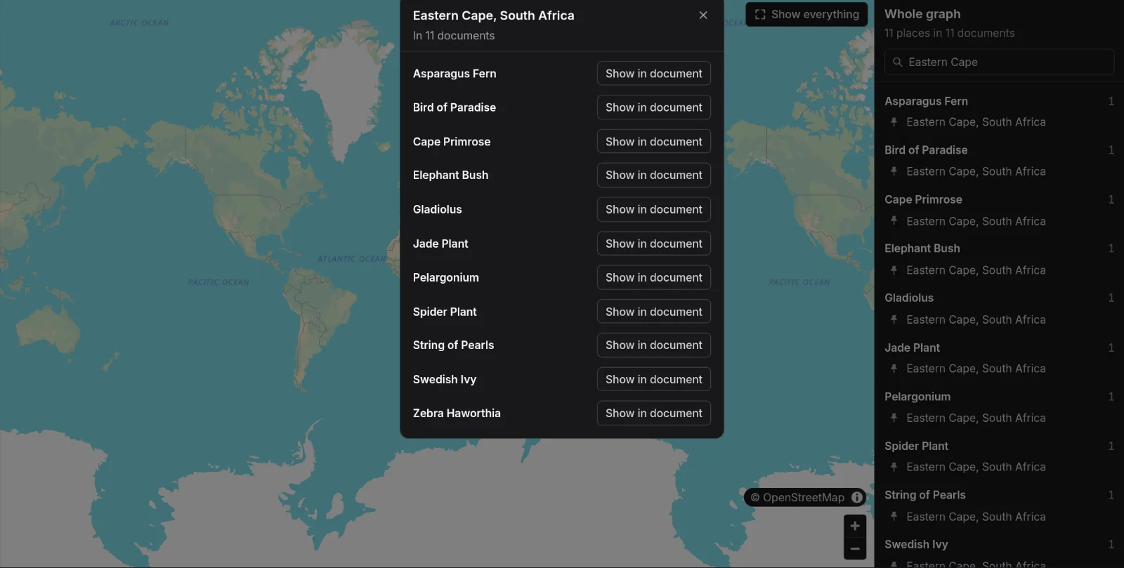
Each region in the demo is a single point, shared by every plant native to it, so the Graph Map View can list a region's plants together. Type a region into the filter and choose its pin. Eleven of the demo's plants grow wild in South Africa's Eastern Cape, [[Bird of Paradise]] and [[Spider Plant]] among them.
Finding a place
The search box on a map takes whatever you have to hand. Searching by name or address comes with Sync+, because each search costs us a little to answer.
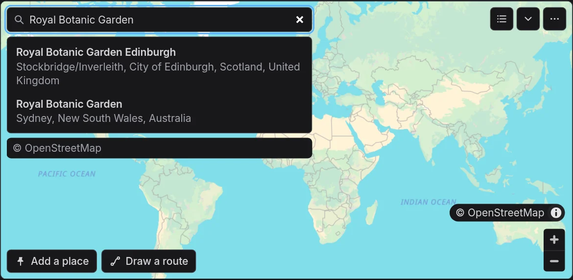
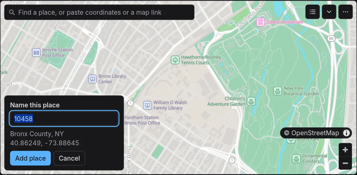
A UK postcode or a US ZIP code works for everyone. EtherPK finds it in postcode files on its own map host, so no search service is asked, and the place is named with the postcode until you give it a name of your own. A ZIP code needs its four extra digits, unless your browser is set to the United States.
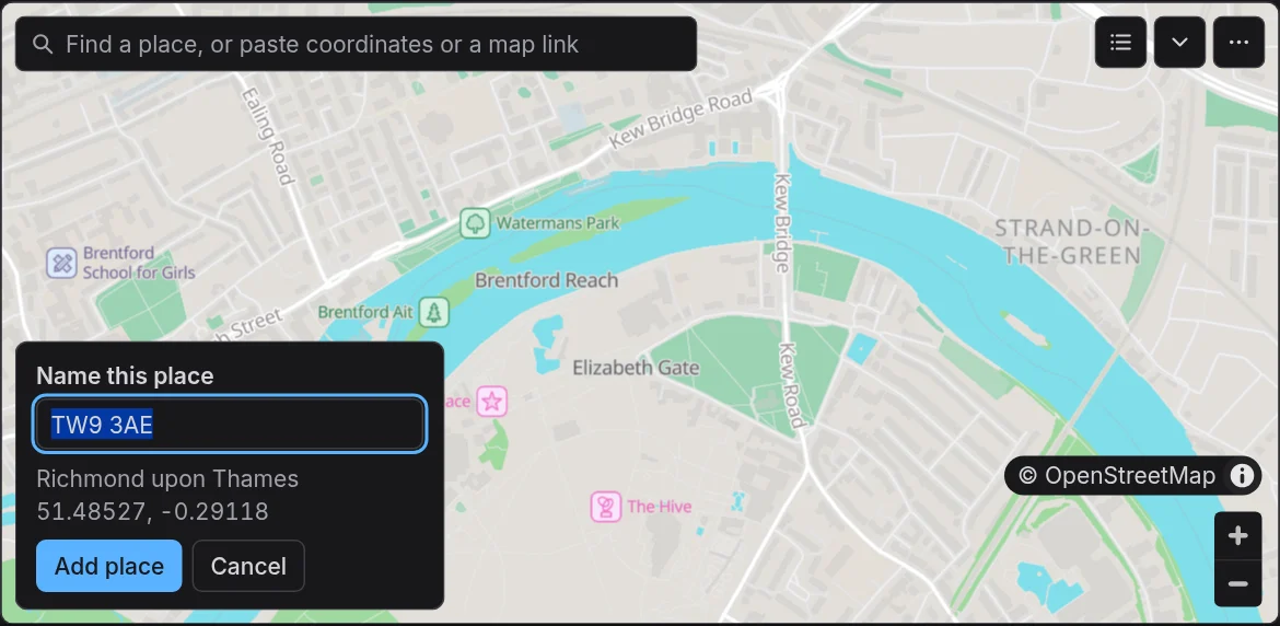
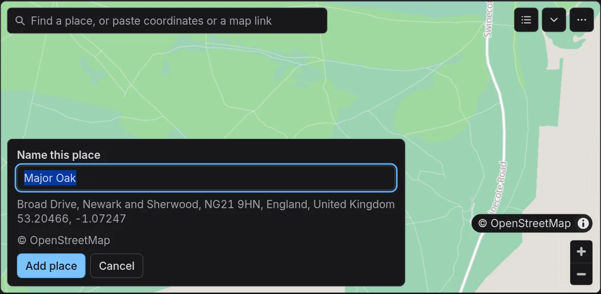
Coordinates, Plus Codes and links copied from Google Maps, Apple Maps or OpenStreetMap are read on your device, with no search at all. With Sync+, a place you add by its coordinates, or by clicking the map, is offered the name of the place nearest it. Here the coordinates of the Major Oak in Sherwood Forest come back named, with the address underneath.
Drawing a route
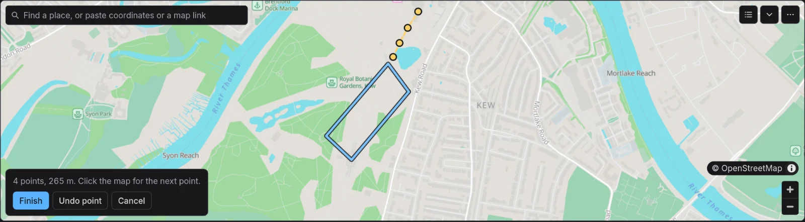
Choose Draw a route and click the map at each point along the way. The panel counts the points and the distance so far, Undo point takes back the last one, and Finish asks for the route's name. A route joins its points with straight lines rather than following roads or paths. You can also import a GPX recording from the map's menu, and EtherPK keeps the original file with your other images and files.
The text behind a map
Every place and route is one line of text inside a fenced block, so you can read, edit and diff a map like the rest of your notes:
map
Royal Botanic Gardens, Kew @ 51.47820, -0.29689
Loop round Kew @ 51.47777, -0.29122 > 51.47906, -0.29275 > 51.47574, -0.29731 > 51.47464, -0.29544 > 51.47777, -0.29122
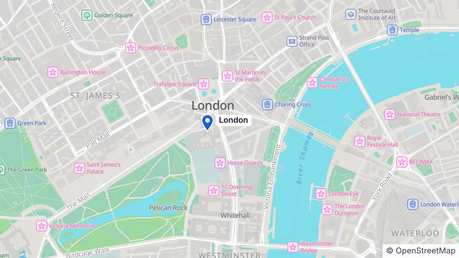
A line with one point is a place, and a line with points joined by > is a route. On a published page, a map becomes a picture of the map with each place's name beside its pin. An AI agent connected to your graph through the EtherPK MCP server sees the same lines, so it can add a place to a map as easily as you can.
Publishing
EtherPK maps can be used with static site publishing. The map below is published using EtherPK static site publishing (as is the rest of this blog).
Try it
Open the demo graph and look at any plant, or at [[Where to Learn About Plants]]. If you've opened the demo before, choose Reset demo in the bar above it to get the new version. Maps work on a phone as well as a computer. The Maps documentation covers the rest, including privacy. EtherPK's map host learns which area of the map is on screen, but never your places or their names.